🎓GeoAcademyGeoVerse Lab
Basic Sciences College

Remote Sensing & Earth Observation Dept

The Remote Sensing & Earth Observation Department builds students' ability to develop algorithms for processing and analyzing satellite remote-sensing and multispectral/hyperspectral imagery. Students apply these algorithms in project work spanning Earth observation, land-use change monitoring, and environmental-change detection; by graduation, they can design, unassisted from start to finish, algorithms that detect and analyze surface change from satellite imagery.
⚙️ GeoAcademy System Administration College🖥️ AI & Computing Sciences College🔬 Basic Sciences College⚡ Intelligent Geophysical Exploration College🛢️ Resource & Energy Engineering College🌍 Applied Geoscience Solutions College💼 Economics, Policy & Strategy for the Future College🎓 Education & Training Development College🚀 Innovation & International Collaboration College
Mathematics DepartmentPhysics DepartmentChemistry DepartmentBiology DepartmentAtmospheric Sciences DepartmentStratigraphy & Sedimentology DepartmentStructural Geology & Tectonics DepartmentPetrology & Mineralogy DepartmentGeochemistry DepartmentPaleontology & Evolutionary Biology DeptRemote Sensing & Earth Observation DeptHydrogeology & Soil Science DepartmentPhysical Oceanography DepartmentMarine Geology & Geophysics DepartmentChemical Oceanography DepartmentMarine Biology & Ecology Department
Norwood🔑
Norwood
Chair
💡 remote_sensing

Researchers (real GeoVerse Lab members) 14

William T. Pecora🔑
1913–1972
William T. Pecora
Researcher
💡 Championed the creation of the Landsat program as USGS director, founding satellite-based systematic land observation
Robert Morris Page🔑
1903–1992
Robert Morris Page
Researcher
💡 Invented pulsed radar and pioneered the foundational engineering principles underlying modern radar imaging systems, including synthetic aperture radar
Sherman Fairchild🔑
1896–1971
Sherman Fairchild
Researcher
💡 Invented the aerial camera and founded the aerial photogrammetric survey industry, establishing the technical foundation for mapping from photographs
George W. Goddard🔑
1889–1987
George W. Goddard
Researcher
💡 Pioneered military aerial photographic reconnaissance, developing high-altitude, night, and long-range aerial photography techniques
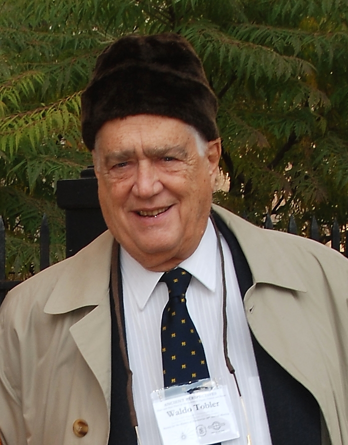
Waldo Tobler🔑
1930–2018
Waldo Tobler
Researcher
💡 Formulated the First Law of Geography and pioneered quantitative and computational methods foundational to Geographic Information Systems
🧑‍🔬
🔑
1918–2005
Robert N. Colwell
Researcher
💡 Widely regarded as a founder of modern remote sensing science, wrote the field's foundational textbooks and championed the Landsat program's development
🧑‍🔬
🔑
1916–2000
John A. O'Keefe
Researcher
💡 Discovered the slight pear-shape asymmetry of Earth's figure through satellite orbital perturbation analysis, founding modern satellite geodesy
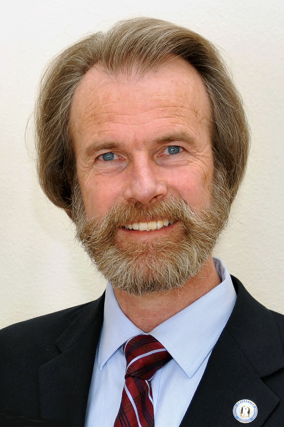
Konrad Steffen🔑
1952–2020
Konrad Steffen
Researcher
💡 Established long-term satellite and in-situ monitoring networks for Greenland and polar ice sheet mass balance and melt dynamics
🧑‍🔬
🔑
1948–2006
Yoram J. Kaufman
Researcher
💡 Pioneered satellite-based methods for determining atmospheric aerosol optical properties and distinguishing human-caused from natural aerosols
🧑‍🔬
🔑
1927–2012
Charles S. Yentsch
Researcher
💡 Pioneered the science of measuring phytoplankton biomass through pigment optics, founding ocean color satellite remote sensing
Robert W. Wood🔑
1868–1955
Robert W. Wood
Researcher
💡 Invented infrared and ultraviolet photography, establishing the optical foundation for spectral imaging beyond the visible range
🧑‍🔬
🔑
1915–1997
Amrom Katz
Researcher
💡 Widely regarded as the father of satellite reconnaissance, advocating for and helping design the CORONA satellite imaging program
🧑‍🔬
🔑
1895–1990
Talbert Abrams
Researcher
💡 Widely regarded as the father of American aerial photogrammetric mapping, founding one of the first commercial aerial survey and mapping companies
🧑‍🔬
🔑
1934–2020
David A. Landgrebe
Researcher
💡 Developed digital image analysis and pattern recognition techniques foundational to multispectral and hyperspectral remote sensing data processing