🎓GeoAcademyGeoVerse Lab
Intelligent Geophysical Exploration College

Gravity & Magnetic Methods Department

The Gravity & Magnetic Methods Department builds students' ability to interpret regional-scale geological structures using potential-field theory. Students practice acquiring gravity and magnetic survey data and applying advanced inversion techniques, working through projects on basin-geometry analysis, salt-dome detection, basement-structure interpretation, and mineral-deposit identification. Graduates can independently perform inversion-based structural interpretation for resource exploration projects.
⚙️ GeoAcademy System Administration College🖥️ AI & Computing Sciences College🔬 Basic Sciences College⚡ Intelligent Geophysical Exploration College🛢️ Resource & Energy Engineering College🌍 Applied Geoscience Solutions College💼 Economics, Policy & Strategy for the Future College🎓 Education & Training Development College🚀 Innovation & International Collaboration College
Seismic Exploration & Imaging DepartmentGravity & Magnetic Methods DepartmentElectromagnetic Methods DepartmentEarthquake Seismology DepartmentIntegrated Geophysics & Interpretation DepartmentInversion & Modeling DepartmentWell Logging & Petrophysics Department
Bouguer🔑
Bouguer
Chair
💡 Gravity Survey & Potential Field Theory

Researchers (real GeoVerse Lab members) 12

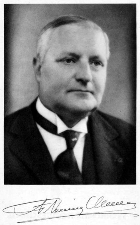
Felix Andries Vening Meinesz🔑
1887–1966
Felix Andries Vening Meinesz
Researcher
💡 Developed the submarine gravimeter and conducted the first successful gravity measurements from a submerged submarine, founding marine gravity surveying
Loránd Eötvös🔑
1848–1919
Loránd Eötvös
Researcher
💡 Invented the Eötvös torsion balance (1890s), the first instrument capable of measuring gravity gradients, founding gravity gradiometry
🧑‍🔬
🔑
1901–1990
Sigmund Hammer
Researcher
💡 Developed the standard terrain-correction templates and tables for gravimeter station data reduction (1939), used worldwide in gravity exploration
🧑‍🔬
🔑
1919–2008
J. Lamar Worzel
Researcher
💡 Achieved precise measurement of Earth's gravity field from surface ships despite platform instability, advancing shipboard gravimetry at Lamont Geological Observatory
🧑‍🔬
🔑
1926–2000
William M. Kaula
Researcher
💡 Pioneered satellite geodesy, using tracking data from artificial satellites to determine Earth's gravity field and geoid shape
Norman F. Ness🔑
1933–2023
Norman F. Ness
Researcher
💡 Designed high-precision magnetometer instrumentation for spacecraft and geophysical survey, discovering the magnetic fields of Saturn, Uranus, and Neptune
🧑‍🔬
🔑
1931–1997
Drummond Matthews
Researcher
💡 Co-proposed the Vine-Matthews hypothesis (1963), explaining seafloor magnetic stripes as evidence for seafloor spreading
🧑‍🔬
🔑
1922–1995
Keith Runcorn
Researcher
💡 Pioneered paleomagnetism and used polar wander curves from rock magnetism to provide key early evidence for continental drift
🧑‍🔬
🔑
1919–2013
Isidore Zietz
Researcher
💡 Produced foundational aeromagnetic maps of the United States and advanced systematic reduction-to-pole and depth-estimation interpretation methods at the USGS
🧑‍🔬
🔑
1933–2023
Manik Talwani
Researcher
💡 Developed (with Worzel and Landisman, 1959) the standard 2D/3D gravity forward-modeling algorithm, and (with Heirtzler, 1964) the corresponding magnetic modeling method
Veikko Aleksanteri Heiskanen🔑
1895–1971
Veikko Aleksanteri Heiskanen
Researcher
💡 Founded the Finnish Geodetic Institute and co-authored the standard reference textbook 'Physical Geodesy', a major authority on isostasy and Earth's figure
🧑‍🔬
🔑
1908–1979
George P. Woollard
Researcher
💡 Established continental-scale gravity base-station networks and developed Airy-Woollard isostasy, a variable-crustal-density refinement of classical isostatic theory