GeoVerse Lab
โ† Applied Geoscience Solutions Division

Geohazards & Monitoring Project Center

Detects and assesses geohazards in energy project areas โ€” landslides, subsidence, and induced seismicity โ€” using InSAR-based deformation data and slope-stability modeling, and designs/validates early-warning systems and traffic-light protocols through simulation.

โš™๏ธ GeoVerse System Administration Division๐Ÿ–ฅ๏ธ AI & Computing Sciences Division๐Ÿ”ฌ Basic Sciences Divisionโšก Intelligent Geophysical Exploration Division๐Ÿ›ข๏ธ Resource & Energy Engineering Division๐ŸŒ Applied Geoscience Solutions Division๐Ÿ’ผ Economics, Policy & Strategy Division๐ŸŽ“ Education & Training Development Division๐Ÿš€ Innovation & International Collaboration Division
Oil & Gas Exploration Project CenterCritical Minerals Exploration CenterCarbon Capture & Storage Project CenterApplied Geothermal Energy Project CenterNuclear Waste Disposal Project CenterOffshore Wind Farm Project CenterEnvironmental Geoscience CenterGeohazards & Monitoring Project CenterLand Site Survey & Assessment CenterSpecial Applications Center
Charles Richter๐Ÿ”‘
โญ Center Chief
Charles Richter
Center Head
๐Ÿ’ก Richter magnitude scale
๐Ÿง‘โ€๐Ÿ”ฌ
๐Ÿ”‘
1896โ€“1990
Ralph Alger Bagnold
Researcher
๐Ÿ’ก Founder of the physics of granular/sediment flow (Bagnold number, dispersive stress theory)
๐ŸŒ Applied Geoscience Solutions DivisionGeohazards & Monitoring Project Center
๐Ÿง‘โ€๐Ÿ”ฌ
๐Ÿ”‘
1910โ€“2008
George W. Housner
Researcher
๐Ÿ’ก Father of earthquake engineering; developed the response spectrum method for seismic structural design
๐ŸŒ Applied Geoscience Solutions DivisionGeohazards & Monitoring Project Center
Bailey Willis๐Ÿ”‘
1857โ€“1949
Bailey Willis
Researcher
๐Ÿ’ก Pioneer of seismic geology, systematic field investigation of the San Andreas Fault and California earthquake hazard
๐ŸŒ Applied Geoscience Solutions DivisionGeohazards & Monitoring Project Center
Roger Tomlinson๐Ÿ”‘
1933โ€“2014
Roger Tomlinson
Researcher
๐Ÿ’ก Known as the "father of GIS" for developing the Canada Geographic Information System (1963)
๐ŸŒ Applied Geoscience Solutions DivisionGeohazards & Monitoring Project Center
Nathan M. Newmark๐Ÿ”‘
1910โ€“1981
Nathan M. Newmark
Researcher
๐Ÿ’ก Developed the Newmark sliding block method for predicting permanent seismic displacement of slopes and dams (1965)
๐ŸŒ Applied Geoscience Solutions DivisionGeohazards & Monitoring Project Center
๐Ÿง‘โ€๐Ÿ”ฌ
๐Ÿ”‘
1899โ€“1968
Hugo Benioff
Researcher
๐Ÿ’ก Invented the linear strain seismograph and made key advances in seismic instrumentation (Benioff zone namesake)
๐ŸŒ Applied Geoscience Solutions DivisionGeohazards & Monitoring Project Center
Harry Bolton Seed๐Ÿ”‘
1922โ€“1989
Harry Bolton Seed
Researcher
๐Ÿ’ก Founder of soil liquefaction engineering; developed the simplified cyclic stress procedure for liquefaction assessment (Seed-Idriss method)
๐ŸŒ Applied Geoscience Solutions DivisionGeohazards & Monitoring Project Center
๐Ÿง‘โ€๐Ÿ”ฌ
๐Ÿ”‘
1914โ€“2001
Alec Skempton
Researcher
๐Ÿ’ก Founder of modern soil mechanics applied to landslide investigation; developed the effective stress concept applied to slope stability
๐ŸŒ Applied Geoscience Solutions DivisionGeohazards & Monitoring Project Center
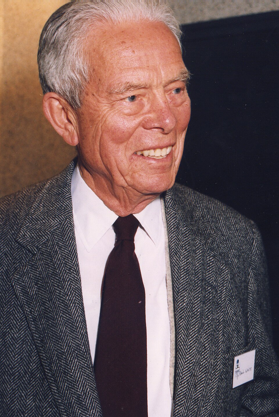
Gilbert F. White๐Ÿ”‘
1911โ€“2006
Gilbert F. White
Researcher
๐Ÿ’ก Founder of natural hazards research as an academic discipline ("father of floodplain management")
๐ŸŒ Applied Geoscience Solutions DivisionGeohazards & Monitoring Project Center
Leopold Muller๐Ÿ”‘
1908โ€“1988
Leopold Muller
Researcher
๐Ÿ’ก Founder of modern rock mechanics as a discipline distinct from soil mechanics
๐ŸŒ Applied Geoscience Solutions DivisionGeohazards & Monitoring Project Center
๐Ÿง‘โ€๐Ÿ”ฌ
๐Ÿ”‘
1918โ€“1985
Carl A. Wiley
Researcher
๐Ÿ’ก Invented synthetic aperture radar (SAR, 1951), the foundational imaging technology behind InSAR ground deformation monitoring
๐ŸŒ Applied Geoscience Solutions DivisionGeohazards & Monitoring Project Center
๐Ÿง‘โ€๐Ÿ”ฌ
๐Ÿ”‘
1908โ€“1991
Joseph F. Poland
Researcher
๐Ÿ’ก Founder of the scientific study of land subsidence caused by groundwater and fluid withdrawal
๐ŸŒ Applied Geoscience Solutions DivisionGeohazards & Monitoring Project Center
๐Ÿง‘โ€๐Ÿ”ฌ
๐Ÿ”‘
1879โ€“1958
Harry O. Wood
Researcher
๐Ÿ’ก Co-invented the Wood-Anderson seismograph (1925) and founded the Southern California seismographic network
๐ŸŒ Applied Geoscience Solutions DivisionGeohazards & Monitoring Project Center
Haroun Tazieff๐Ÿ”‘
1914โ€“1998
Haroun Tazieff
Researcher
๐Ÿ’ก Pioneer of applied volcanic hazard mitigation and eruption forecasting through direct crater-level field observation
๐ŸŒ Applied Geoscience Solutions DivisionGeohazards & Monitoring Project Center